Costs & choosing
How much do drone services cost in the UK?
Published price examples, the reasons quotes differ and a practical way to compare the full cost of a drone assignment.


Choose the method around terrain, vegetation, deliverables and evidence of accuracy—not simply the most expensive sensor.
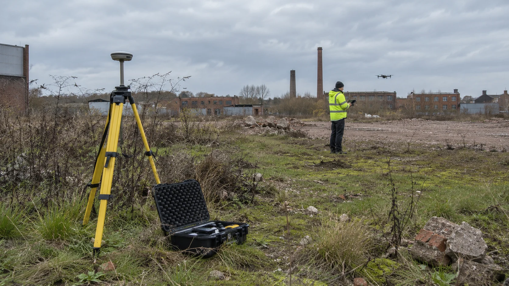
Photogrammetry reconstructs surfaces from overlapping photographs. LiDAR uses laser measurements to build a cloud of three-dimensional points. Both can contribute to surveying, but neither is automatically the best choice for every site. The purchasing question is whether the proposed method will supply the evidence your next decision requires.
If you need a clear visual record of a construction site, tell the provider who will use it and what they need to see. If you need ground levels for design, tell them the area, coordinate requirements and acceptance criteria. 'We want a drone survey' leaves too much room for two suppliers to quote entirely different products.
Photogrammetry is closely tied to imagery, making it a useful option when a recognisable map or visual model is central to the brief. Pix4D describes outputs including coloured point clouds, textured meshes and orthomosaics. It also identifies lighting and visible image detail as relevant to the reconstruction.
Our practical inference is to start by asking about photogrammetry for an exposed site where you need both a visual record and measurements within an agreed tolerance. That is a starting question, not a guarantee of suitability. Ask the provider to identify surfaces or areas where their proposed approach may leave gaps.
For a hypothetical monthly construction record, consistency may matter more than changing sensors. Request repeatable coverage, agreed output names and a way to compare visits. An impressive model delivered in a different form every month can be less useful than a simpler, consistent record.
Laser returns can pass through gaps between leaves and branches and record surfaces beneath. That is different from seeing through solid objects. Ground coverage still depends on the vegetation, geometry and capture plan. Ask to see evidence from comparable conditions, especially if bare-earth terrain is the main reason for commissioning LiDAR.
Modern systems can combine techniques. DJI's Zenmuse L2, for example, pairs LiDAR with an RGB camera, and its FAQ describes using imagery to colour point-cloud data and create image-based reconstructions. A proposal need not be a choice between lasers and photographs with no overlap.
Our recommendation for a hypothetical partly wooded development site is to ask how the supplier will establish ground coverage beneath the canopy, identify unsupported areas and fill important gaps. A label saying 'LiDAR survey' does not answer those questions. The response should describe the planned result and its limitations.
DJI's published L2 accuracy figures come with specific test conditions. This illustrates why a hardware specification should not be copied into a quotation as an unconditional site-wide guarantee. Pix4D also distinguishes relative accuracy within a model from absolute accuracy against a reference frame.
Ask what accuracy is required for your purpose, how the provider will check it and what they will report if part of the site misses the target. A method may be technically capable while the offered scope omits sufficient validation. For design work, involve the professional who will rely on the output before ordering.
Compare the complete cost: planning, ground work, capture, processing, classification, drawing production and quality checks. Our advice is to request separately priced essentials and optional outputs. You may discover that interpretation or CAD production, rather than the sensor choice, is the largest practical difference between proposals.
Give each bidder the same information and ask them to explain why their proposed method meets it. Do not prescribe LiDAR simply because it sounds more advanced, or reject it because another supplier offers cheaper photographs.
No universal ranking is useful. Compare the complete workflow, conditions and independently checked result against your required tolerance.
It can obtain returns through gaps in foliage. Complete ground coverage is not guaranteed, so ask how coverage and gaps will be assessed.
Find providers advertising the relevant service and compare the proposed deliverables before booking.
Published price examples, the reasons quotes differ and a practical way to compare the full cost of a drone assignment.
Understand what a thermal image measures, what it cannot prove and how to commission useful analysis rather than a colourful picture.
Compare the buying process, accountability and practical trade-offs of a managed network, an operator directory and a direct supplier.