Costs & choosing
How much do drone services cost in the UK?
Published price examples, the reasons quotes differ and a practical way to compare the full cost of a drone assignment.


A buyer's guide to orthomosaics, point clouds, terrain models, CAD files and the evidence that makes them useful.
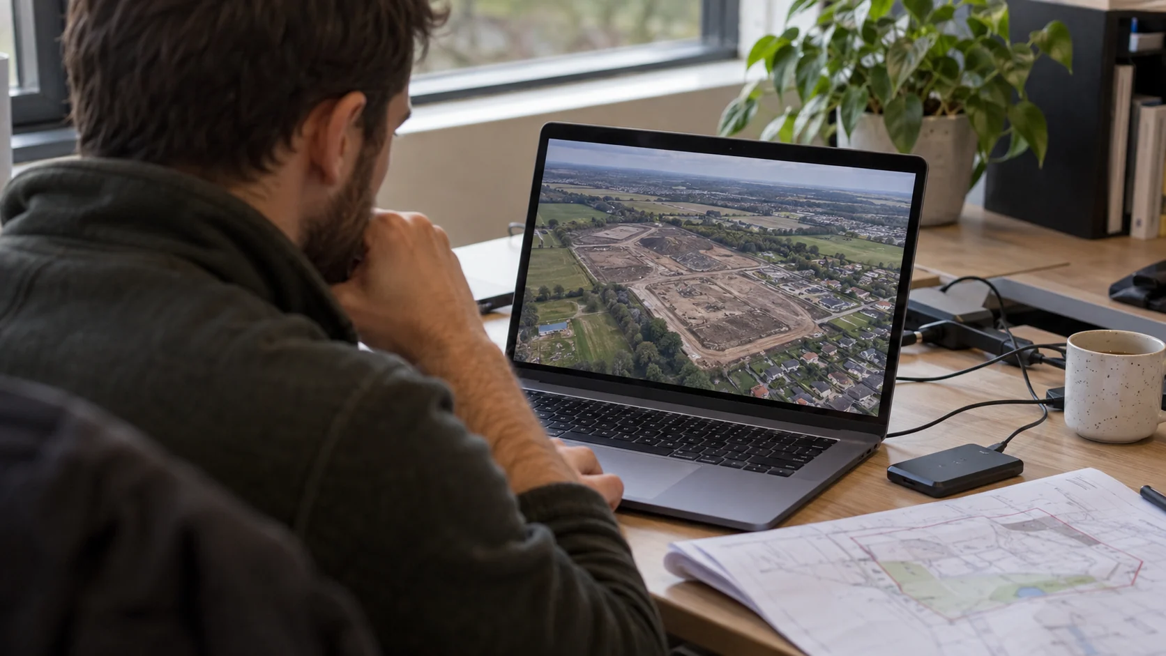
The flight is only one stage of a drone survey. The product you buy is the information delivered afterwards. An estate manager, architect and civil engineer may commission the same site but need different handovers. Tell the provider who will receive the files, which software they use and what they need to decide.
Our recommendation is to make the output schedule part of the quote. Avoid relying on descriptions such as 'full survey package' without a list. Include delivery dates, any review meeting, correction arrangements and the period for which a hosted viewer will remain available. This prevents a visually attractive preview becoming the only accessible result.
An orthomosaic is a corrected two-dimensional image map, rather than an ordinary stitched panorama. A point cloud represents geometry as three-dimensional points. A textured mesh joins geometry into surfaces for visual presentation. Pix4D cautions that its textured mesh is primarily a visualisation product rather than its recommended measurement output.
A digital surface model, or DSM, represents the upper surface, including objects such as buildings. A digital terrain model, or DTM, aims to represent terrain with objects filtered out. That distinction matters if the recipient expects ground levels rather than roof or canopy heights.
Our purchasing advice is to ask the recipient which outputs they actually need. A point cloud can be valuable to a specialist and frustrating to someone expecting a readable drawing. A PDF overview can be convenient for a meeting without replacing the underlying data required for design.
Common handover formats include GeoTIFF for mapped raster outputs, LAS or LAZ for point clouds and DXF for certain vector outputs. Pix4D documents these as different outputs with different uses. Ask the supplier to confirm compatibility with the recipient's actual software, including any version or import requirements.
If you need CAD drawings, ask which features will be extracted and how they will be organised. 'CAD compatible' might mean data can be imported; it does not necessarily mean a finished, labelled drawing is included. Agree the required lines, levels, layers and supporting notes.
For a hypothetical architect's brief, request a small sample file early enough to test the workflow. That is often a better purchasing check than receiving a long list of supported formats. Clarify whether supplied data is editable and whether textures or other companion files are necessary to open it properly.
Accuracy within a model and accuracy relative to real-world coordinates are different. A detailed-looking image does not establish either on its own. Pix4D describes checkpoints as a means of assessing a reconstruction against known positions, while ground control points help establish its reference.
Ask for the coordinate reference system, height reference, units, survey date and applicable accuracy statement. Request a clear explanation of how performance was checked, where the checks were located and which areas have limitations. These are recommended procurement questions; the required specification should come from the professional relying on the result.
For repeat surveys, ask whether methods and references will remain consistent enough for the planned comparison. Apparent change can be misleading if datasets are not aligned appropriately. Do not assume a smaller pixel size or denser point cloud alone demonstrates a more reliable result.
Open the files promptly and compare them with the agreed schedule. Our suggested acceptance check is deliberately practical: can the intended person use the information, and can they understand where its limits are?
No. Drawing production and feature extraction must be included in the agreed scope. Ask for a sample that matches the intended handover.
No. Resolution describes image detail. Accuracy needs an appropriate reference and evidence of how the result was checked.
Find providers advertising the relevant service and compare the proposed deliverables before booking.
Published price examples, the reasons quotes differ and a practical way to compare the full cost of a drone assignment.
Understand what a thermal image measures, what it cannot prove and how to commission useful analysis rather than a colourful picture.
Compare the buying process, accountability and practical trade-offs of a managed network, an operator directory and a direct supplier.